
wanderer
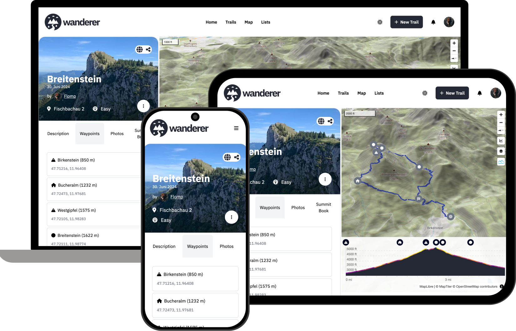
Self-hosted trail database that makes your GPS data searchable
Alternative to: alltrails, komoot, strava
About
Versions (51)
v0.7.0
2024-06-15v0.7.0
Features
- Trail sort and sort direction are now remembered through a page reload
- You can now pick between OpenStreetMaps and OpenTopoMaps tiles
- The gradient track line can now display altitude, slope, and speed
- A waypoint’s coordinates can now be inferred from a photo’s EXIF data
Docs
- Added a guide for custom categories