
Gramps Web
Open source online genealogy system
Alternative to: ancestry, myheritage, familysearch
v26.6.2
2026-06-23Maps, maps, maps! :world_map:
After focusing on the new timeline view that maps genealogical events to the time dimension, this release focuses on improving their representation in space, bringing a host of new features and improvements to the map view.
Show personal events on the map
So far, the searchbox allowed searching for places in the Gramps database. Now, you can also directly search for people. When you select a person, it will show this person’s event on the map, connected by lines with arrows showing the person’s migration path!
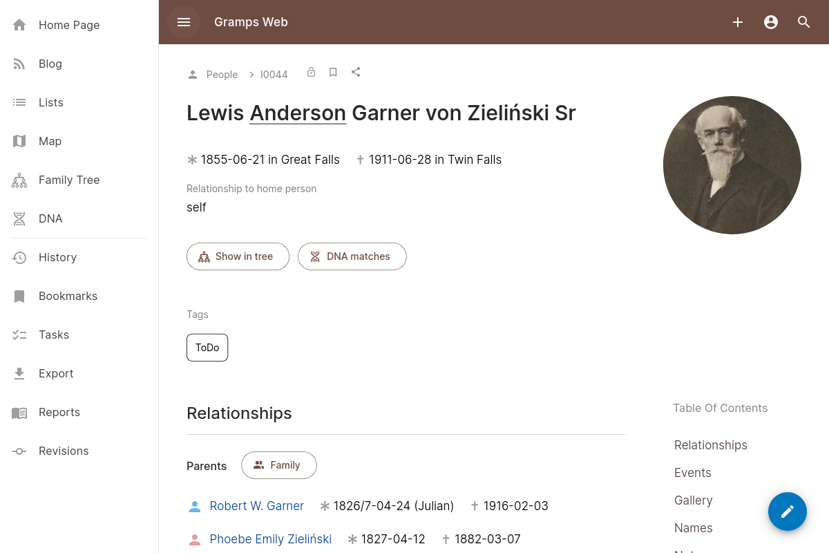
In the person view, there is a new “open in map” button that takes you directly to this view. It is accompanied by a “show in timeline” button, that opens the timeline with the person’s events.
Implemented in https://github.com/gramps-project/gramps-web/pull/1243, https://github.com/gramps-project/gramps-web/pull/1245, and https://github.com/gramps-project/gramps-web/pull/1250.
Other map improvements
- When selecting a place, the detail box now also shows its events https://github.com/gramps-project/gramps-web/pull/1266
- Rather than always starting with the same default view, the map now opens at the zoom and location where you left it. This persists across restarts of the app as long as you’re on the same device https://github.com/gramps-project/gramps-web/pull/1252
- The OpenHistoricalMap style file is now cached, which speeds up layer switching https://github.com/gramps-project/gramps-web/pull/1254
- Map search results are now displayed with more details https://github.com/gramps-project/gramps-web/pull/1253
- OpenHistoricalMap now shows labels in the language corresponding to the user’s configured frontend language, if available https://github.com/gramps-project/gramps-web/pull/1255
- The search box now also optionally shows search results from OpenStreetMap https://github.com/gramps-project/gramps-web/pull/1248
- Media files with map coordinates shown as overlays are now tiled into proper map raster tiles in the backend. This means you can now use much larger images without performance loss on zoom or pan! https://github.com/gramps-project/gramps-web/pull/1239
- The form to set a media file’s map coordinates now allows searching for place names to navigate the map more quickly https://github.com/gramps-project/gramps-web/pull/1241
Verify your genealogical data :detective:
If you use Gramps desktop, you might know the “Verify the data” tool – it checks your genealogical data for inconsistencies, such as unrealistically low or high ages for certain life events.
This release brings this tool to Gramps Web! You can find it in the admin settings (next to the check and repair tool). Any objects that are flagged by the tool are shown in a sortable table view. The object preview, introduced in the last release, makes it easy to glance at the details without navigating away from the page.
Implemented in https://github.com/gramps-project/gramps-web/pull/1263
Other improvements :new:
- When creating a new place, you can now also specify its GPS coordinates https://github.com/gramps-project/gramps-web/pull/1249
- When creating a new event, you can now directly add participants to it https://github.com/gramps-project/gramps-web/pull/1258
- Invalid dates (such as February 31) now show an error message and prevent form submission https://github.com/gramps-project/gramps-web/pull/1259
Bug fixes :adhesive_bandage:
- Do not open object preview in charts when in edit mode https://github.com/gramps-project/gramps-web/pull/1273
- Fix image reload on token refresh https://github.com/gramps-project/gramps-web/pull/1247
Full Changelog: https://github.com/gramps-project/gramps-web/compare/v26.6.1…v26.6.2