
AirTrail
A modern, open-source personal flight tracking system
Alternative to: flighty, app in the air, tripit
About
Versions (66)
v3.9.0
2026-04-19What’s Changed
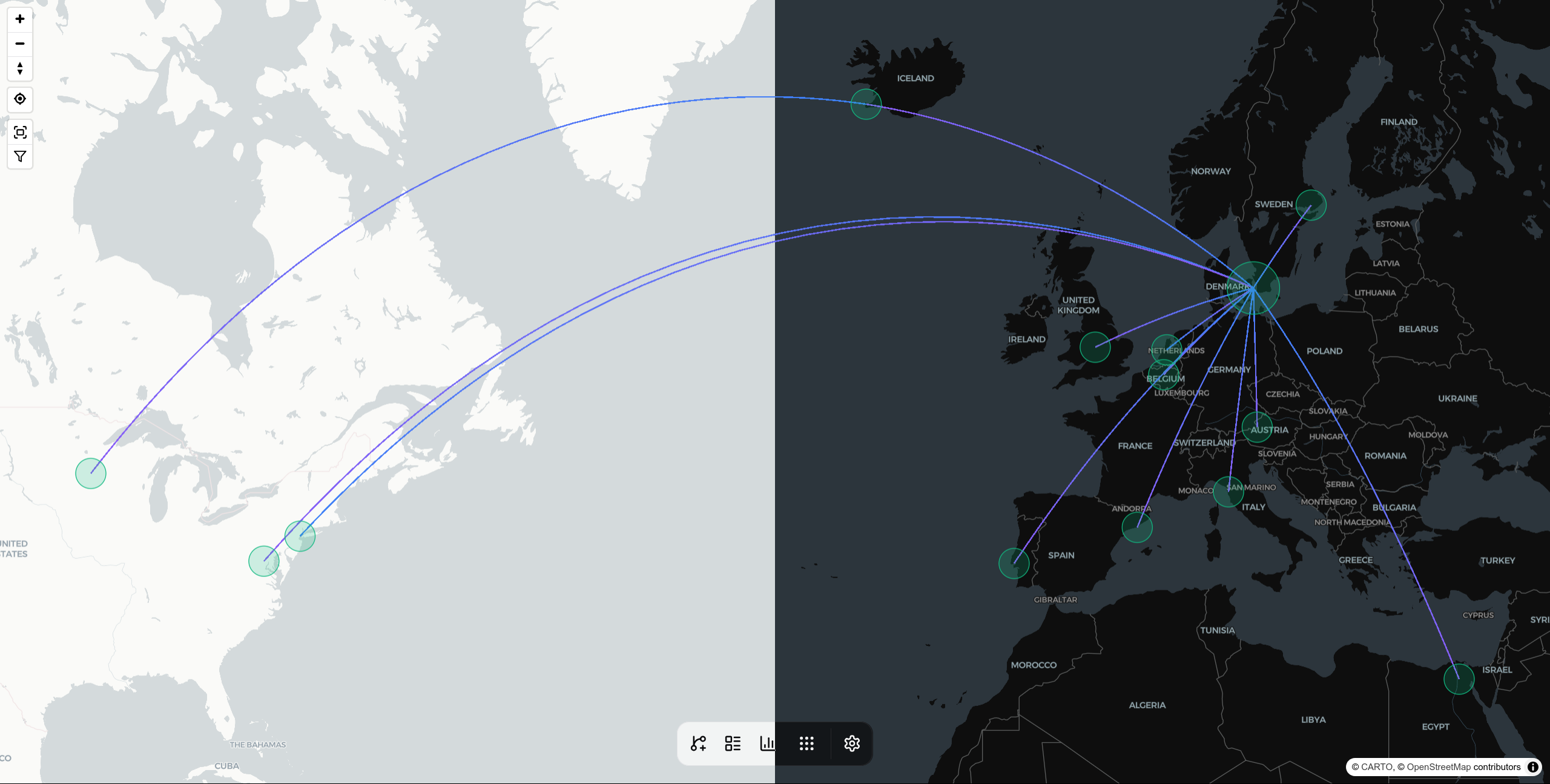
This release brings a variety of new map customization options to AirTrail.
The default map style has been enhanced to show more airport details when zoomed in (like taxiways, gates etc.).
You can now change the size of/hide the airport circles on the map, change the width of the route arcs to either be uniform or proportional to the frequency of the route, and you can now optionally enable the overlay of aviation charts on the map (requires configuration of the openAIP integration).
🚀 Features
- feat: map customizability by @johanohly in https://github.com/johanohly/AirTrail/pull/557
- feat: create flights with just a year by @johanohly in https://github.com/johanohly/AirTrail/pull/558
🌟 Enhancements
- feat: allow admins to list all instance flights through flight list API endpoint by @johanohly in https://github.com/johanohly/AirTrail/pull/559
🐛 Bug fixes
- fix: hide tail numbers on shared links by @johanohly in https://github.com/johanohly/AirTrail/pull/555
- fix: make usernames case-insensitive by @johanohly in https://github.com/johanohly/AirTrail/pull/560
Full Changelog: https://github.com/johanohly/AirTrail/compare/v3.8.1…v3.9.0