
AirTrail
A modern, open-source personal flight tracking system
Alternative to: flighty, app in the air, tripit
v3.10.0
2026-05-23What’s Changed
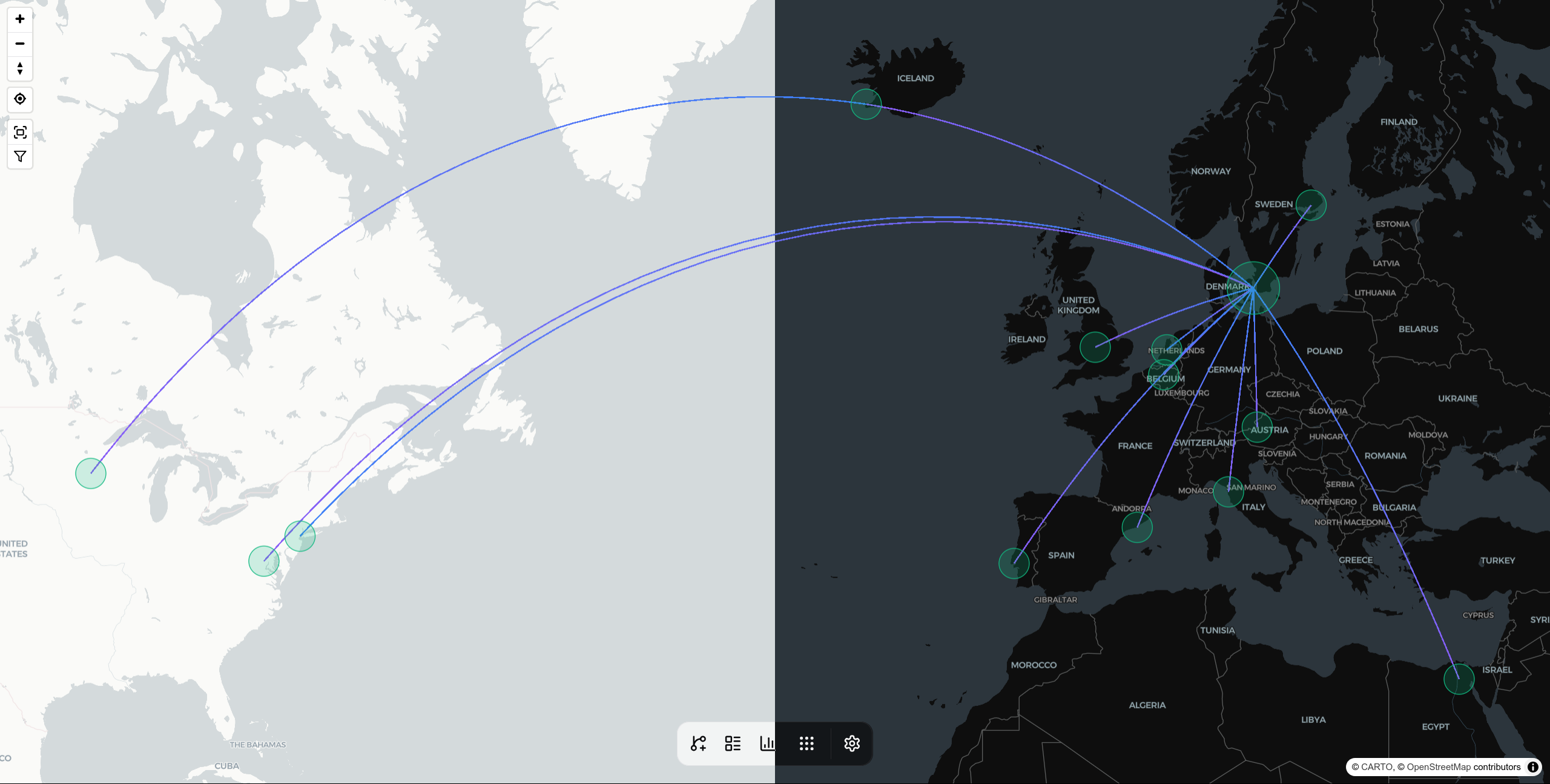
This release makes the map much more interactive. Selecting an airport or route now opens a details pane with airport activity, related flights, local time, and METAR weather, while the selected airport or route is highlighted directly on the map. Map appearance also gets a satellite basemap, more airport detail controls, and frequency-based route coloring so heavily flown routes stand out more clearly.
AirTrail now also has a dedicated Preferences settings page for units and date/time display, including distance, wind speed, temperature, pressure, time format, date format, week start, and whether flight times are shown in airport local time, UTC, or your system timezone. Existing unit settings are migrated automatically.
🚀 Features
- feat: map panes by @johanohly in https://github.com/johanohly/AirTrail/pull/578
🌟 Enhancements
- fix: reduce airport import memory usage by @johanohly in https://github.com/johanohly/AirTrail/pull/562
- feat: add frequency-based route color visualization by @Gaudv in https://github.com/johanohly/AirTrail/pull/571
🐛 Bug fixes
- fix: constrain deduplicate table height to viewport by @timmaurice in https://github.com/johanohly/AirTrail/pull/572
📚 Documentation
- docs: document outbound proxy configuration by @johanohly in https://github.com/johanohly/AirTrail/pull/579
New Contributors
- @hwcltjn made their first contribution in https://github.com/johanohly/AirTrail/pull/566
- @timmaurice made their first contribution in https://github.com/johanohly/AirTrail/pull/572
Full Changelog: https://github.com/johanohly/AirTrail/compare/v3.9.0…v3.10.0